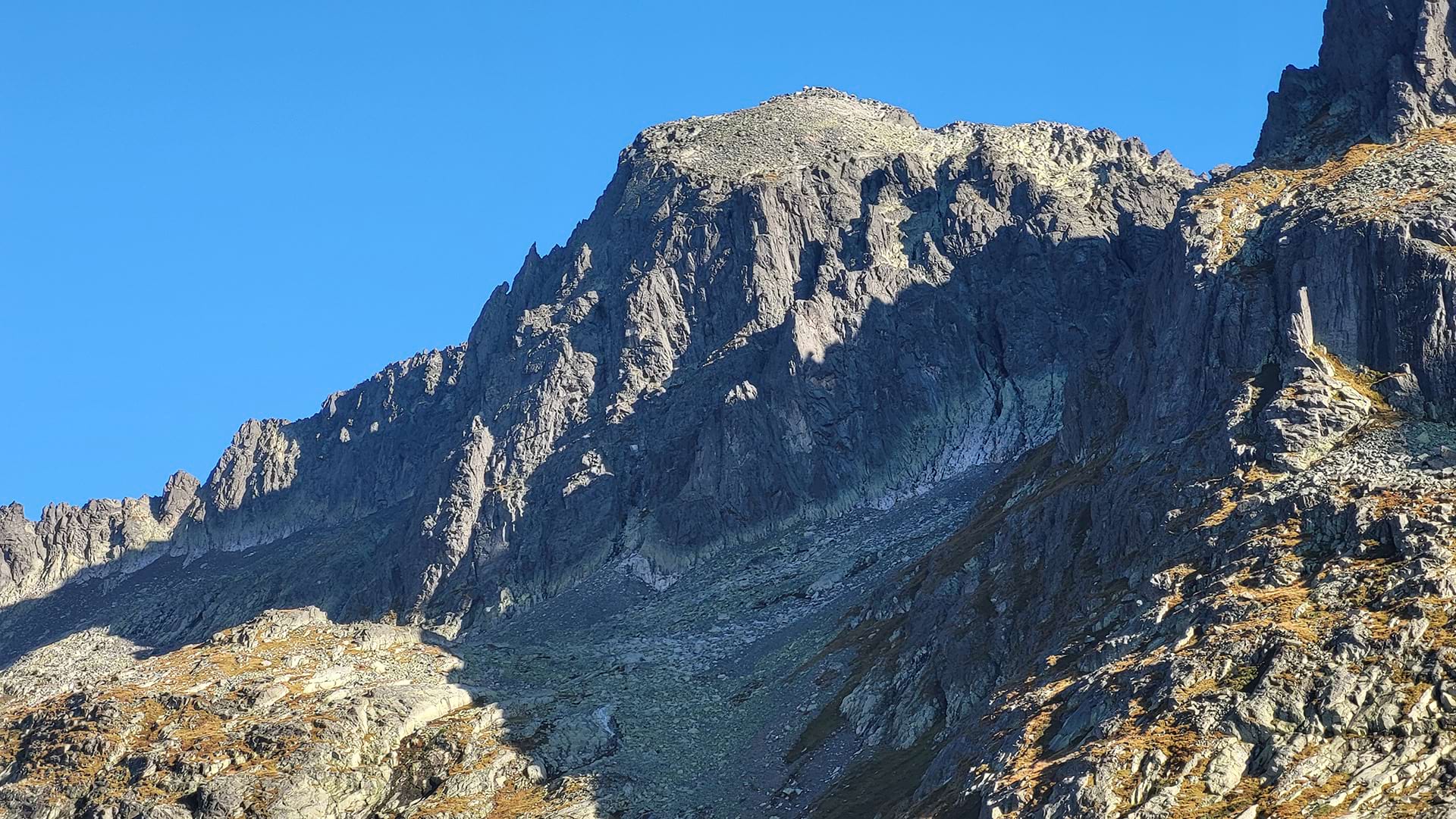
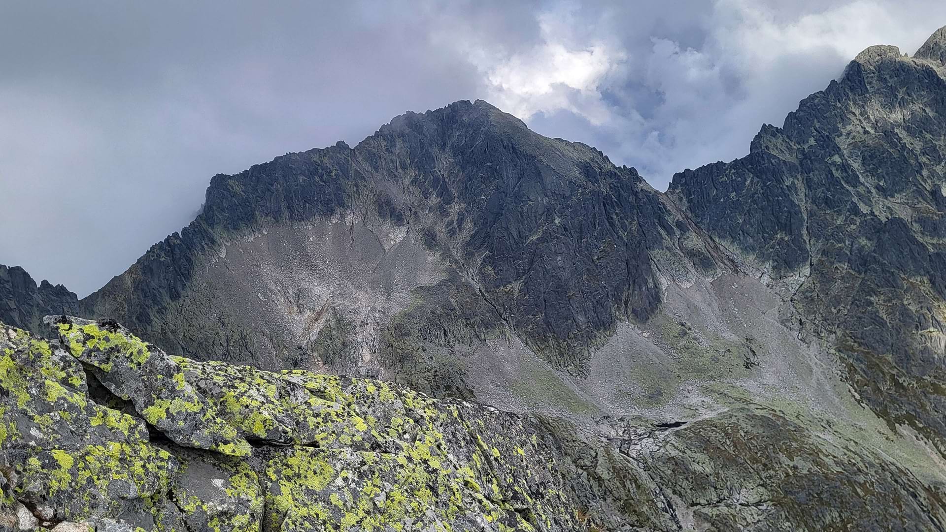
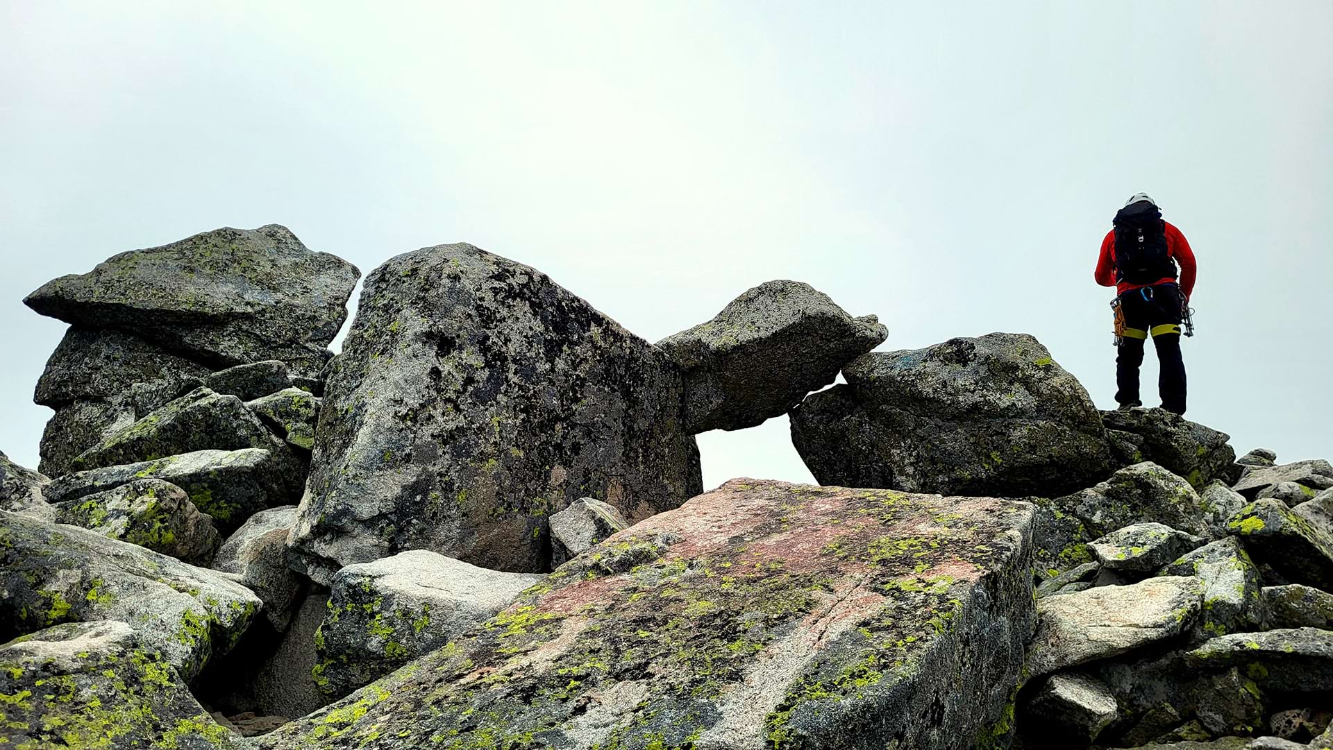
Baranie rohy lies in the eastern part of the main ridge of the High Tatras, between Ľadový štít and Čierny štít. It is characterized by an extensive summit scree plateau, called Barania galéria (above the southern wall). This massive peak has two summits, which are separated by the Barania škára. From the peak, there are beautiful views of the ridge of Prostredný hrot, Ľadové štíty, the Belianske Tatras ridge, and into valleys such as Malá Studená dolina and Dolina Zeleného plesa.
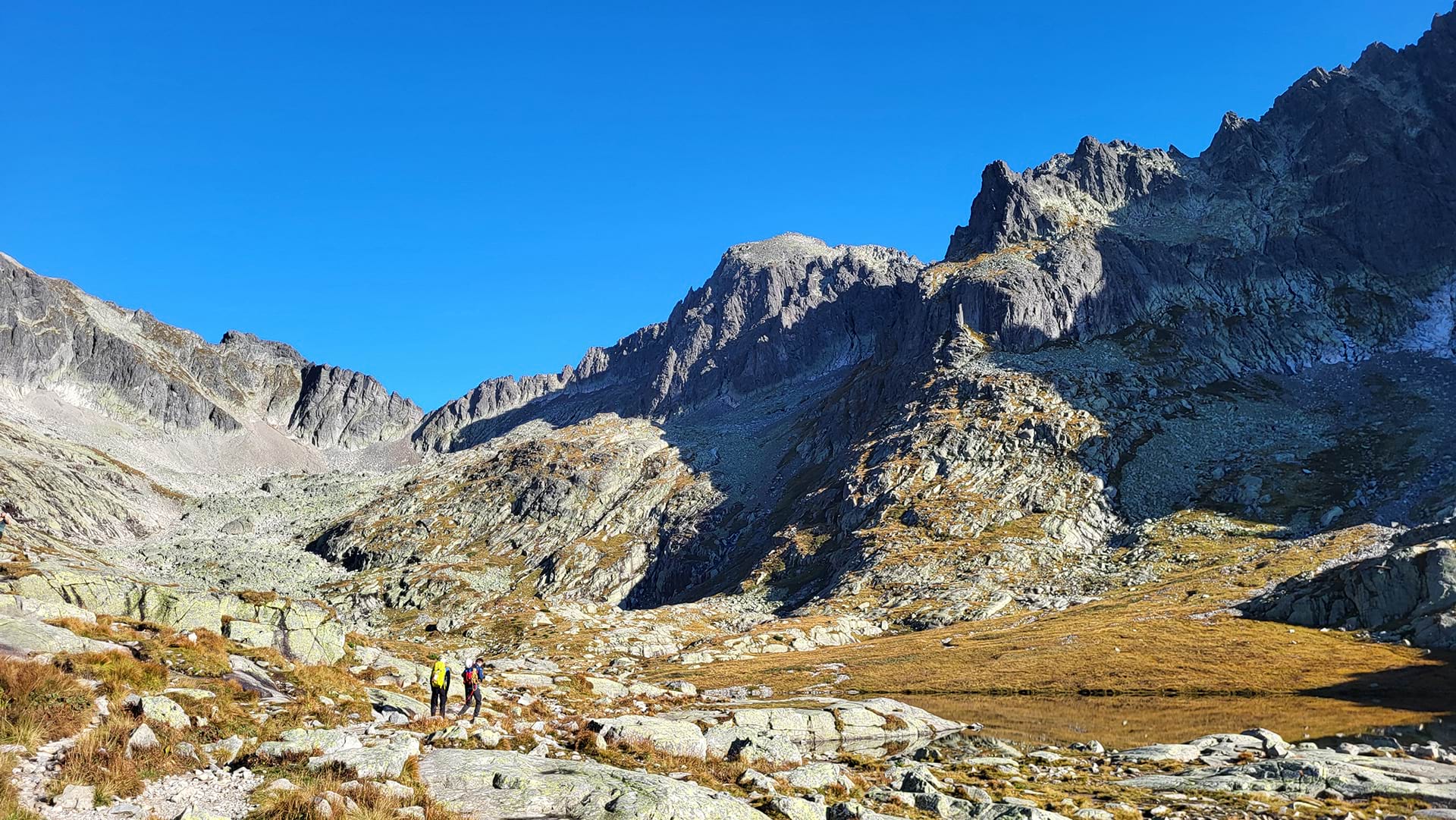
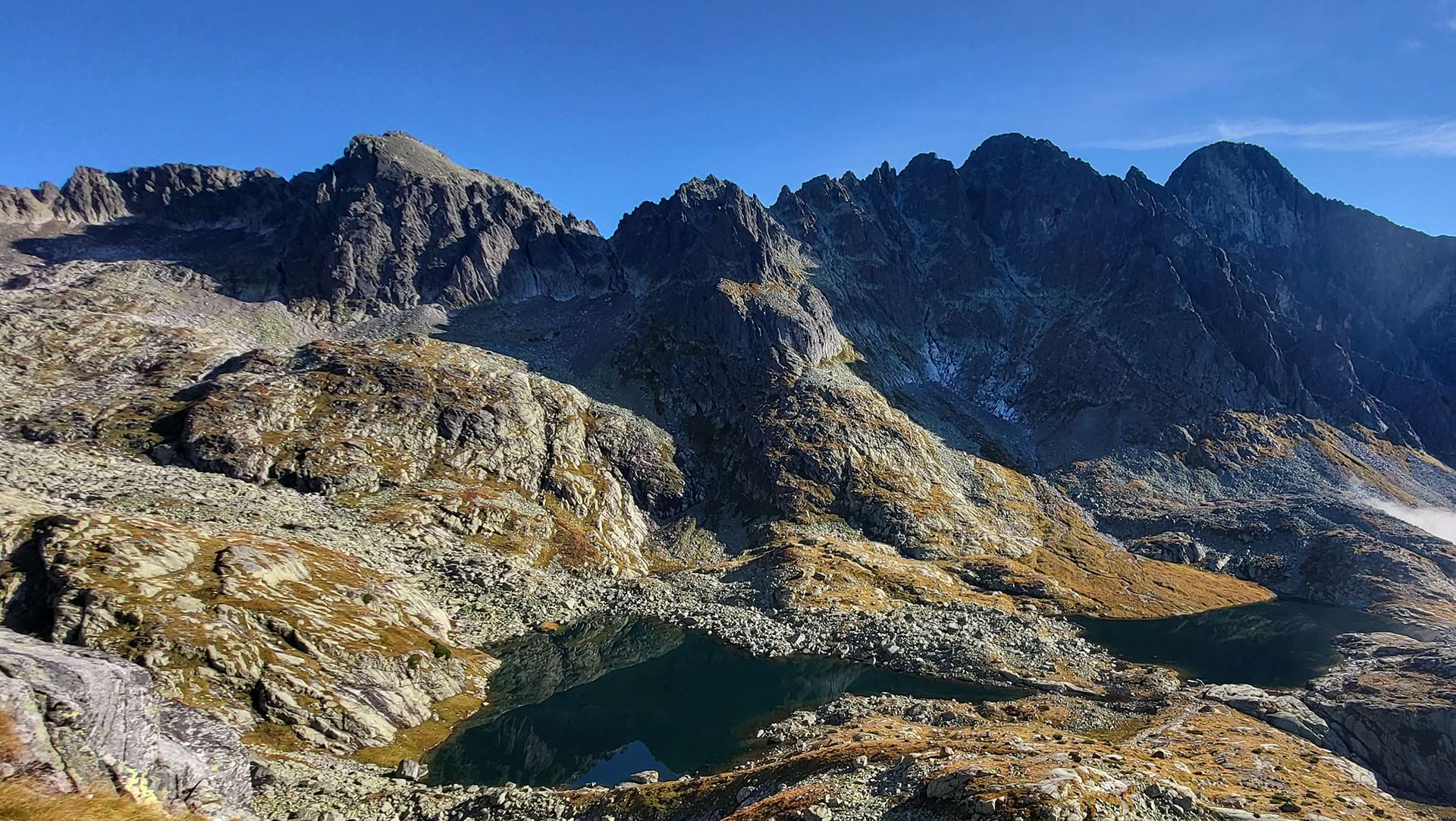
The hike begins in Starý Smokovec, or more precisely at Hrebienok. Following the Tatranská magistrála trail, we reach Zamkovského hut, from where we continue through Malá Studená dolina to Téryho hut. Then through the basin of the Five Spiš Lakes, past Prostredné Spišské pleso, we take an unmarked trail to Baranie sedlo, from where we traverse to the summit of Baranie rohy. The return route follows the same path.
This is a demanding mountain hike, intended for fit hikers in good physical condition with mountain experience, as part of the hike is done off marked trails.